Mid Argyll Camera Club

Images of Dalriada


Images of Dalriada

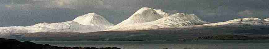
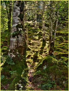
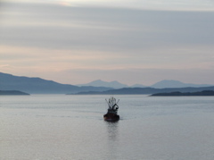
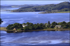
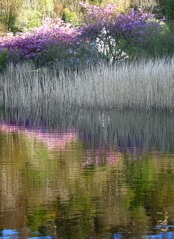
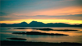
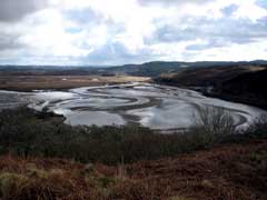
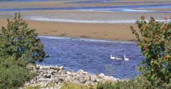
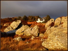
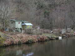
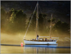
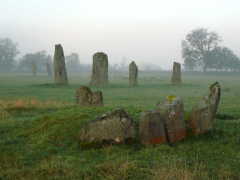
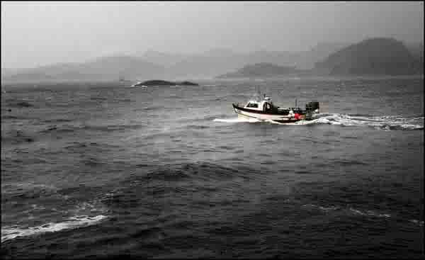
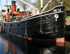
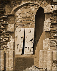
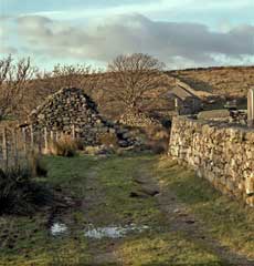
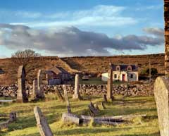
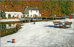
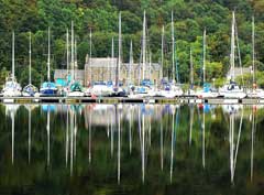
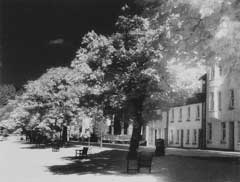
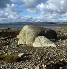
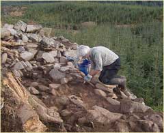
These members' images are part of a growing collection for the Dalriada area.

The Dalriada area includes the Crinan Canal corridor, Knapdale Forest and Kilmartin Glen, extending north to about Ford, east to a bit beyond Lochgilphead, west to the coast, and south to include part of Loch Caolisport.

Some of these photographs were provided for the Half Life Community Response book, published November 2007.
Some images may not be visible during club competition judging.

Barnluasgan Glade
Barnluasgan Glade

Crinan Evening
Crinan Evening

Crinan Ferry
Crinan Ferry

Crinan Reflection
Crinan Reflection

jura-sunset
Jura Sunset, over McCormaig Isles

?
River Add Estuary

?
River Add

Carn Ban and the old village, Carnasserie

picture-23.jpg
On Kilmory Beach

Roots + Rock
Roots and Rock, Barnluasgan Dun

Lion's Mane
Lion's Mane in Sound of Jura

The Artist JoLoMo
The Artist JoLoMo

Arichonan Deserted Village
Fragment, Arichonan Deserted Village

cup mark, Creag Mhos
Cup Mark, Creag Mhos

McCormaig Chapel & Cross

dun-a-bhuilg
Dun a Bhuilg, Kilmory Knap

Gypsy Caravan Crinan

Mooring - Keills
Mooring - Keills

november_mist-crinan
"November Mist - Crinan

Ormaig Rosette
The Ormaig Rosette

Spring morning, Ardrishaig

The Scissor Stones, Kilmartin

picture-34.jpg

stonefield
Stonefield

Storm
Storm

Vic 32
Vic 32

Wall in Kintyre
Wall in Dalriada

Welcome In
Welcome In, Kilmory Chapel

Weaver's House
Weaver's House

Ardnaw Farm
Ardnaw Farm

Lock 6 Crinan Canal
Lock 6 Crinan Canal

Canal Masts
Canal Masts

Cote de Gilp
Cote de Gilp

Kilmory Beach
Kilmory Beach

Digging Dun above Achnamara

Each image on this web site is copyright - see statement.

back to top back to top