Mid Argyll Camera Club
Dalriada Image Collection

MACC Dalriada Image Collection
Since 2008 we have been making a collection of our images of the Dalriada area. This has developed from our 'Argyll - History and Mystery' project, and some members' involvement in the Community History section of the Dalriada Project.
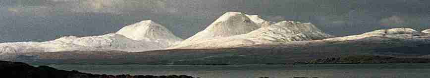
The Dalriada area includes the Crinan Canal corridor, Knapdale Forest and Kilmartin Glen, extending north to about Ford, east to a bit beyond Lochgilphead, west to the coast, and south to include part of Loch Caolisport.
Outline of the project
The project is a extension of our 'Argyll - History and Mystery' project, re- focused approximately on the part of Mid Argyll defined by the Dalriada Project. Members will continue to photograph buildings and other man-made structures and their settings, and will also photograph activities, events and landscapes/seascapes.
Resulting images are being gathered together digitally, and some selected for printing. Images may be grouped together in overlapping themes and presented in various ways.
Making the project visible to the public
There should be several hundred images archived, and many of them displayed. We may present our images and interpretive caption texts as
- exhibitions of mounted prints in the Lochgilphead Community Education Centre, with each theme on display for a few weeks at a time, with breaks.
- on CD for each main theme (especially for the archived images). Copies may be be available for other storage and use, eg screen display in museum/Community Centre.
- on this MACC web site.
- as a public "Guess Where" competition.
Copyright
Each image produced in this project, and each image on this web site is copyright - see statement.